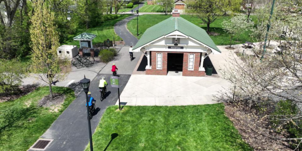
Navigating the Ohio to Erie Trail through Westerville, Ohio
 Posted on by Mediap0294959
Navigating the Ohio to Erie Trail through Westerville, Ohio
The Visit Westerville Ohio to Erie Trail Blog Series is presented by RWM Wealth Advisors
By Jeff Pierron
Welcome to the debut of the Visit Westerville bicycling blog!
As a cyclist and 26-year Westerville resident, I am rightfully proud of the biking infrastructure and amenities in my hometown. I’m eager to help out-of-town visitors find their way around and discover the restaurants, shops, lodging, attractions and other features — all of which are easy to access on two wheels.
Westerville has long been a hub for recreational cycling, and the city boasts 51 miles of trails, bike lanes and marked streets. The showcase is a 4.5-mile paved segment of the Ohio to Erie Trail (OTET), a nationally acclaimed 326-mile pathway that runs from the Ohio River in Cincinnati to Lake Erie in Cleveland. The Westerville segment is also part of the Great American Rail-Trail that’s under development and will cross the U.S. from coast to coast.
The OTET brings to town many “through” cyclists in both directions. You’ll see them year-round — riders of all ages on bikes of all types. Hungry cyclists will find numerous dining options here. And the city’s location near the middle of the OTET makes it an ideal overnight stop on a multi-day journey, with lots of opportunities for fun, culture and exploration!
In the weeks ahead, this blog will highlight ways to make the most of your cycling adventure to Westerville and to find essential services, including bike shops.
But first, let’s get an overview of the Ohio to Erie Trail and how to navigate it through the city. The best resource for information on the entire trail is the OTET website at https://www.ohiotoerietrail.org/. It is a one-stop shop for maps, information about services along the trail, construction updates and much more.

Map courtesy of Ohio to Erie Trail
The Ohio to Erie Trail uses dozens of local trails and connectors as it traverses the state. In Westerville, the OTET travels along the Alum Creek Trail, the Westerville Bike & Walk Way, the Schrock Road bike lanes and some other smaller trails and streets.
The 2.2-mile Westerville Bike & Walk Way was built on a former railroad right-of-way that runs just a couple of blocks east of Uptown and roughly parallel to State Street, the city’s main north-south thoroughfare.
Signs and pavement markings help cyclists navigate the OTET through Westerville. But sometimes they’re easy to miss. Seeing what the route looks like from a cyclist’s point of view can help. Therefore, Visit Westerville put together a video that shows what you’ll see from your bike seat as you enter the city from the Interstate 270 underpass and pedal north, connecting with the Genoa Trail as you leave town. (We chose northbound because that’s the direction many riders go when riding the entire OTET, offering an increased likelihood of a tailwind.)
Here are links to customized Ride With GPS maps to download to your phone or bike computer to help with turn-by-turn navigation within Westerville. For northbound, go to https://ridewithgps.com/routes/46447954 . For southbound, go to https://ridewithgps.com/routes/46447997
So get your bearings, then check back for more blogs that will tell you how to make the most of your cycling visit to Westerville!
ABOUT THE AUTHOR: Westerville resident Jeff Pierron is a retired newspaper journalist and former director of the Great Ohio Bicycle Adventure. His passion for cycling was life-changing, and he’s eager to help others find the joy of exploring near and far on two wheels.